San Diego California one of the world’s smartest cities
National Geographic Channel features San Diego as the only U.S. city in its acclaimed documentary series “World’s Smart Cities”. San Diego was chosen for its strong technology sector, local innovators, green practices, smart public planning and an unparalleled quality of life. Other selection factors included San Diego’s size of population, demographics/cultural diversity, livability, economy and business climate, educational institutions, leadership and strong sense of community.
National Geographic Channel’s “World’s Smart Cities: San Diego” documentary is an unprecedented exploration of the 8th largest U.S. city where technology, talent and innovation create a new urban environment – one that will emerge as a leading city in the 21st century.
 “Both business and leisure travelers have known about San Diego’s appealing weather and friendly beach lifestyle for years,” said Joe Terzi, President and CEO of the San Diego Tourism Authority. “However, ‘World’s Smart Cities’ will show viewers worldwide that San Diego has more than a sunny outlook. The city’s talent, innovation and creativity highlighted in this documentary prove that San Diego’s business environment and local culture are among the world’s best.”
From Wikipedia, the free encyclopedia
According to SDSU professor emeritus Monte Marshall, San Diego Bay is “the surface expression of a north-south-trending, nested graben”. The Rose Canyon and Point Loma fault zones are part of the San Andreas Fault system. About 15 miles (24Â km) east of the bay are the Laguna Mountains in the Peninsular Ranges, which are part of the backbone of the American continents.
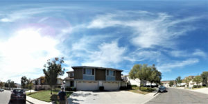
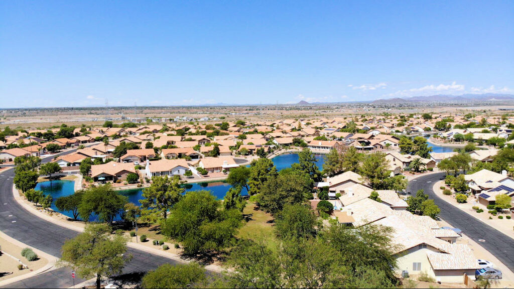
The city lies on approximately 200 deep canyons and hills separating its mesas, creating small pockets of natural open space scattered throughout the city and giving it a hilly geography. Traditionally, San Diegans have built their homes and businesses on the mesas, while leaving the urban canyons relatively wild. Thus, the canyons give parts of the city a segmented feel, creating gaps between otherwise proximate neighborhoods and contributing to a low-density, car-centered environment. The San Diego River runs through the middle of San Diego from east to west, creating a river valley which serves to divide the city into northern and southern segments. The river used to flow into San Diego Bay and its fresh water was the focus of the earliest Spanish explorers. Several reservoirs and Mission Trails Regional Park also lie between and separate developed areas of the city.
Notable peaks within the city limits include Cowles Mountain, the highest point in the city at 1,591 feet (485Â m); Black Mountain at 1,558 feet (475Â m); and Mount Soledad at 824 feet (251Â m). The Cuyamaca Mountains and Laguna Mountains rise to the east of the city, and beyond the mountains are desert areas. The Cleveland National Forest is a half-hour drive from downtown San Diego. Numerous farms are found in the valleys northeast and southeast of the city.
In its 2013 ParkScore ranking, The Trust for Public Land reported that San Diego had the 9th-best park system among the 50 most populous U.S. cities. ParkScore ranks city park systems by a formula that analyzes acreage, access, and service and investment.